Gravity
Model
Ecological connectivity analysis in green infraestructure of the Barcelona metropolitan area and planning of green corridors.
2021 locationBarcelona, Catalunya collaborationStrategic Planning Department, Barcelona Metropolitan Area keywordsCity, Connectivity, Ecology, Green infraestructure technologyCartography, Data visualization, Network analysis

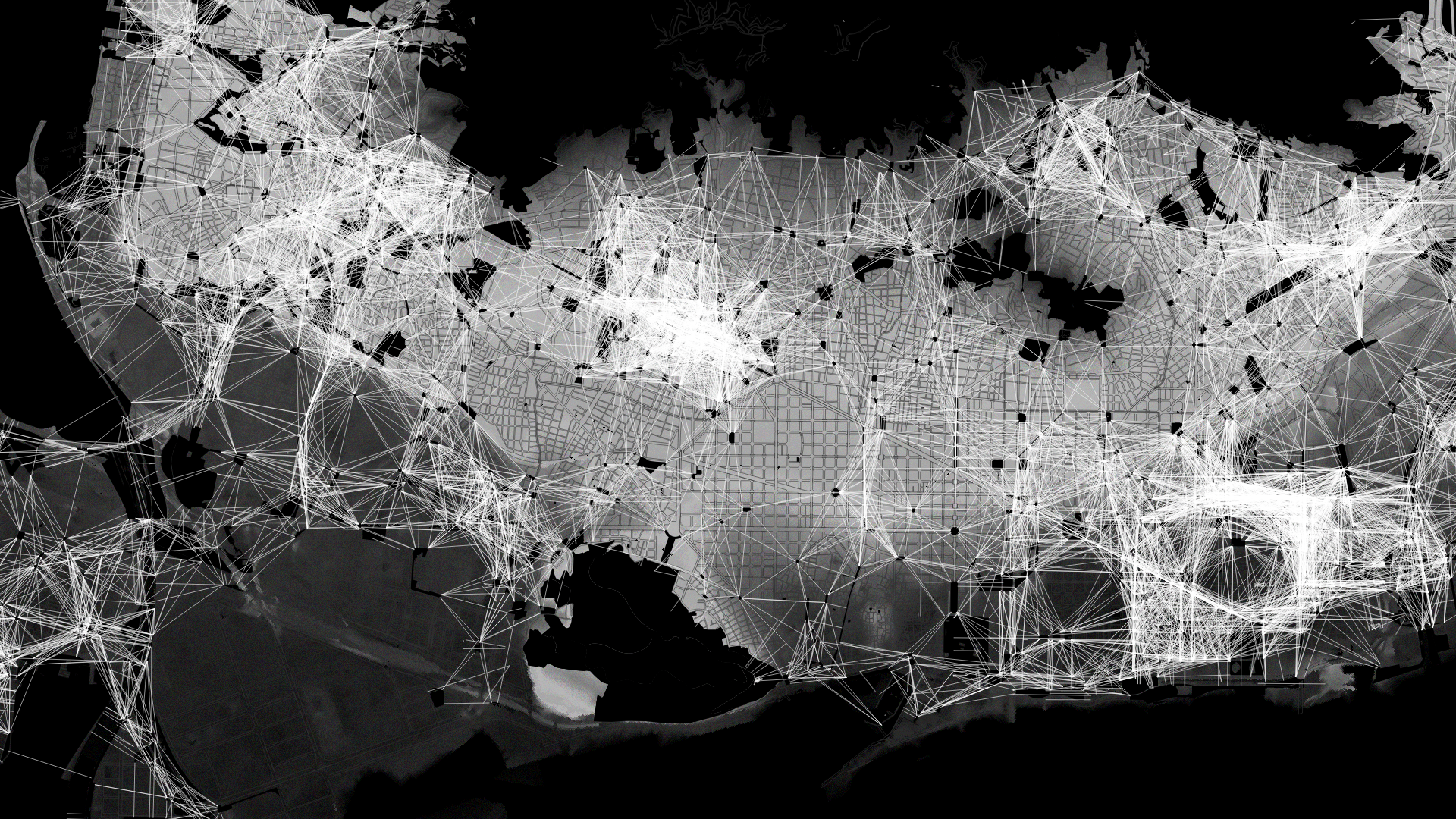
Gravity model of the green infraestructure in Barcelona metropolitan area.
In this study we present a novel approach to assess the ecological connectivity of the green infrastructure of the Barcelona metropolitan area and a systematic methodology for the planning of green corridors. We intend to connect the ecology of the landscape with practical considerations of planning and design of cities with the aim of maximizing the social and ecological functions of urban green spaces.
To quantitatively estimate the structural connectivity between the nodes that make up the green infrastructure of the Barcelona metropolitan area, we apply a gravity model that simulates the interactions between the nodes and makes it possible to identify possible ecological corridors in an urbanized area and prioritize them based on attraction of the communicating nodes.

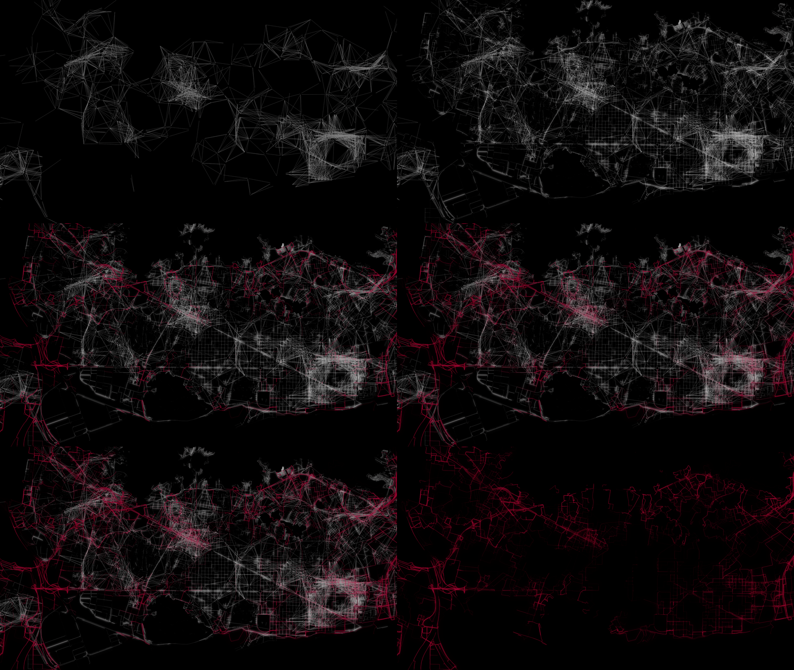
Interactions between green infraestructure nodes in Barcelona metropolitan area.
To design of the greens corridors, we base on the creation of a network model with the potencial capacity of the road structure to allow the ecological connection, calculated on the basis of the public green area with an NDVI>0.4 and that represents the presence of abundant and vigoroius vegetation. Fragmenting elements that break the continuity of the network and reduce the ecological functionality of the territory have also been identified, such as infrastructures, overpopulated areas and industrial parks.

Network model: ecological connectivity of the road structure in Barcelona metropolitan area.
Based on the potential connectivity graph, the lines or ecological routes with the minimum travel cost between the nodes with the greatest attraction have been defined. The result is a network of potential green corridors that ensure adequate ecological connectivity between the nodes that make up the green infrastructure of the Barcelona metropolitan area.

Network of green corridors in Barcelona metropolitan area.
Based on the results of the gravity model, it is detected how the large green spaces of the Barcelona metropolitan area —Collserola, Serralada Marina, Garraf and Parc Agrari del Baix Llobregat— enter the city through the outer crown due to the presence of spaces green —Montjuic, the Tres Turons, Parc del Besòs, etc— but the dense fabric of the Eixample and the absence of green areas generate an ecological discontinuity and gaps within the fabric of Barcelona, Badalona, Santa Coloma de Gramanet, Hospitalet de Llobregat and Cornella de Llobregat.