Water
Management
Environmental analysis of the Belesar reservoir and its correlation with rainfall regime in 2017.
2020 locationBelesar, Galicia keywordsEcology, Environment, Territory, Water technologyCartography, Data visualization, Raster analysis, Remote sensing

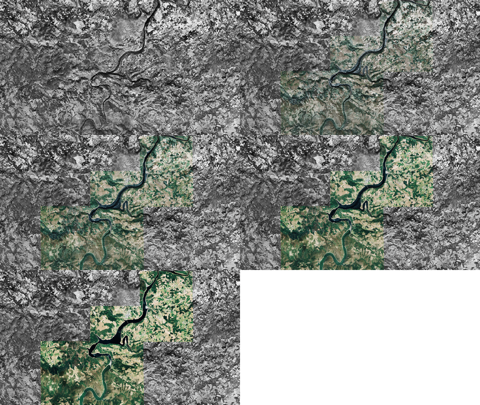
Overlay of orthophotos from the years 1956 and 2017 in the surroundings of the town of Portomarín.
The climate evolution in the last years, characterized by an increase in temperature and changes in the distribution, duration, and intensity of rainfall, translates into a decrease in water reservoirs. This supply problem has been enhanced with the increase in demand due to the intensification of the human activities and the impact of human actions on the planet. In this new context of water emergency, the availability and sustainability of water resources is questioned for the first time, as well as the need for water management strategies more respectful with the environment. This work is sensitive to the global context and I exhibit an analysis of the environmental evolution of the Belesar reservoir and its correlation with rainfall events during 2017.
The study area is an artificial swamp created in 1963 on the Miño River with a capacity of 655hm³ and spreads over an area of approximately 1.910ha, with a 50km long tail. The construction of the reservoir meant, in addition to flooding almost 5000ha of fertile land, the disappearance under the water of Portomarín, a town which was rebuilt near its original location. I apply the research only to the hydrographic basin that discharges into the Belesar reservoir, which I delimit using raster processing tools from the Digital Terrain ModelDTM.

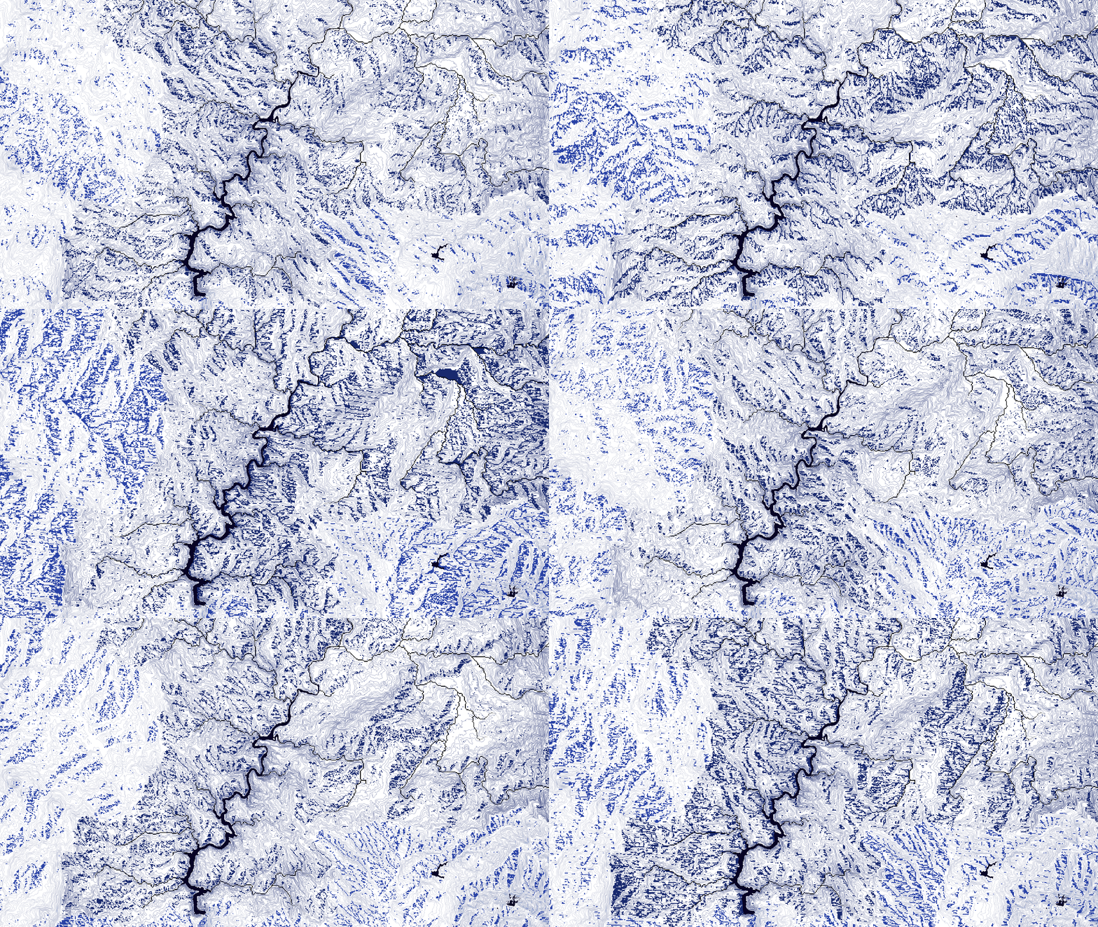
Flow direction of the watershed Belesar reservoir. Each frame displays the eight directions of steepest decline, or maximum fall, from each cell.
I perform the analysis by using Landsat 8 satellite images taken from the EarthExplorer with dates 01/01/17, 03/04/17, 08/08/17 and 10/05/17. After atmospherically correcting the images, I compute the Modified Normalized Difference Water IndexMNDWI and the Normalized Difference Vegetation IndexNDVI for the detection and quantification of water surfaces and very dense and vigorous vegetation in the reservoir's watershed.

Seasonal analysis of water surface and vigorous vegetation in the Belesar watershed.
The correlation between precipitation, water surface and vigorous vegetation is very high. The months with high levels dammed water display a larger surface of healthy and dense vegetation and correspond to a period of intense rains. For instance, the data observed in April 4th correspond to the highest values of rainfall [104,50L/m³], water surface [3.319ha] and vegetation area [332.347ha]. In conclusion, rainfall events irrigate the vegetation of the watershed and recharge the reservoir.